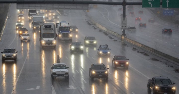
Rainfall warnings have been issued for parts of the Lower Mainland and Vancouver Island as an atmospheric river approaches B.C.’s South Coast.
Environment Canada issued the alerts on Friday covering Metro Vancouver north of the Fraser River, Howe Sound, western Vancouver Island and eastern Vancouver Island between Nanoose Bay and Fanny Bay.
The national weather and climate agency said rain is expected to begin falling in Metro Vancouver Friday night and become heavy overnight, before tapering off Sunday afternoon.

Get daily National news
Get the day’s top news, political, economic, and current affairs headlines, delivered to your inbox once a day.
“Total rainfall amounts of 60 to 75 mm can be expected over central sections of Metro Vancouver, while higher amounts near 75 up to 120 mm can be expected over Howe Sound and higher terrain of northern sections of Metro Vancouver,” Environment Canada said.
Similar totals were forecast for western Vancouver Island, while totals of about 80 mm were forecast for the island’s eastern warning area.
The B.C. River Forecast Centre has also issued a high streamflow advisory for B.C.’s South Coast.


High rainfall totals combined with freezing levels rising as high as 1,500 metres are expected to contribute to swelling waterways over the weekend, the agency warned.
“Streamflow rises may be rapid. Significant flooding is not anticipated; however, localized flooding (i.e., in smaller streams) and water pooling on roads are possible, particularly at lower elevations and in areas with poor drainage,” the advisory states.
“Fast-flowing rivers pose increased risk to life safety, and the public is urged to be cautious.”
© 2025 Global News, a division of Corus Entertainment Inc.